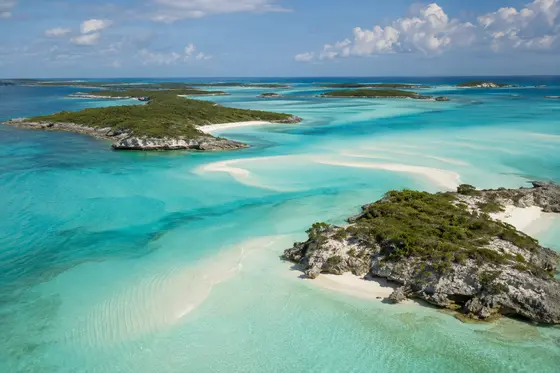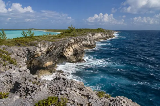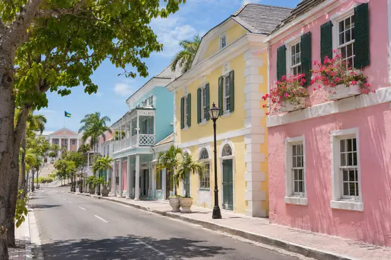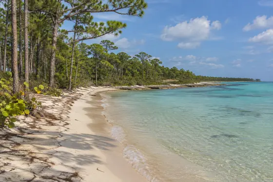
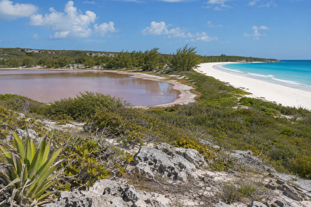
San Salvador lies to the east of the main central island groups. On a map it looks small, and it is possible to enjoy several coastal areas in a relatively short stay. Lakes and ponds occupy parts of its interior. The island's long association with an event in world history has brought attention to a landscape that is also rich in marine and terrestrial habitats.
The historical connection
San Salvador is generally identified as the island where Christopher Columbus made landfall in the Americas in October 1492. The identity of the first island has been debated, and the story did not begin with Columbus. Lucayan people already lived in the archipelago. Historical markers and monuments are found around San Salvador. When visiting, read the wider history of European colonisation and the displacement of the Indigenous inhabitants rather than interpreting the event solely as a discovery.
Lakes and coast
Much of the island is shaped by limestone and saline inland waters. Great Lake National Park protects a substantial part of the inland ecosystem. Look for approved access points and ask local guides about birdlife and the distinctive geology of the area. Bonefish Bay is one of the better-known beach areas, while other stretches of coast face more exposed water.
San Salvador is also associated with reef diving. The water beyond the island's narrow banks quickly deepens, offering a different experience from that of a broad shallow sandbar. Diving outings should be arranged with a qualified operator who can select appropriate sites.
Visiting the island
Confirm flights to and from San Salvador before arranging the rest of your trip. It has fewer visitor services than Nassau or Freeport, which is part of its appeal for those seeking quiet. Arrange local transportation and check which attractions are accessible. Spend a morning with the island's history, a second looking at its natural features and the remaining time beside the water.
Make time for an evening beside the water
The island's quiet stretches of coast are particularly pleasant in the early morning or late afternoon, when the sun is lower and there is more to see along the shoreline. At the interior lakes, the view changes with the weather and patterns of water level. Pack binoculars for an informal look at birdlife. It is worth asking about local histories and settlement names rather than limiting your attention to the much discussed monuments. Respect private and protected areas and enjoy places that are readily accessible.
Cockburn Town and the history of the landfall
The island's main administrative settlement is Cockburn Town. It lies on the west coast, where a road follows much of the local shore. A traveller looking for the historical connection with Columbus will find several monuments in this general area. The Columbus Monument is near Long Bay, and a second monument commemorates the UNESCO declaration connected with the five-hundredth anniversary of the 1492 voyage.
The best approach is to regard these places as commemorative landmarks, not evidence that settles every detail of the voyage. The exact point of the first landing is difficult to establish from the surviving accounts. The island commonly identified with the event is known in the historical narrative by the Indigenous name Guanahaní. Even before the arrival, the Lucayans had established communities and maritime connections between the islands.
A visitor can use the monuments as an occasion to explore the longer human history of the Bahamas, including the consequences of colonisation for the original inhabitants. There is no need to accept every old monument's language at face value. Look for the date when it was erected and consider the circumstances in which it was created. Understanding the commemorative period is sometimes as revealing as reading the inscription itself.
A plantation estate at Sandy Point
The ruins of the Sandy Point Estate in the southwest give another perspective on the island's past. Often called Watlings Castle, the site is associated with a Loyalist plantation established in the late eighteenth century. Archaeological study has examined the remains of parts of the estate, including buildings occupied by enslaved people. The name of the site should not lead the visitor to picture a medieval fortress; its surviving remains reflect the agricultural and social organisation of a colonial estate.
The official information about Watlings Castle and Sandy Point Estate also notes the research carried out by the Gerace Research Center. When looking at the ruins, pay attention to the arrangement of the buildings. The size of the estate house and the separation of different work and residential areas express the considerable disparities of wealth, power and living conditions under which people spent their lives.
Check local advice about access before visiting. Old masonry can be fragile and it is important to avoid climbing on walls, removing objects or disturbing ground in an archaeological area. A visit with a local heritage guide is often the best way to put the buildings into context rather than wandering through the ruins without understanding their significance.
The lighthouse and San Salvador's position at sea
The Dixon Hill Lighthouse stands near United Estates on the island's eastern side. Built in 1887, it was an important aid to navigation for vessels sailing through the open Atlantic. The tower is especially distinctive because its position on a hill gives it much greater visibility above sea level than the height of the tower alone would suggest.
On an island whose coast can change quickly from shallow reefs to deep water, the role of such a light is easy to imagine. Sailing crews once depended on distinctive lights and landmarks to identify their position at a time when modern electronic navigation systems did not exist. The light was part of a network of navigation aids that connected the Bahamian islands to international shipping routes.
Read the Dixon Hill Lighthouse visitor information and ask locally whether access is available. A working lighthouse has equipment, staff and maintenance requirements that take precedence over sightseeing. If the tower is closed, the landscape around the landmark still gives a sense of the open sea beyond the narrow strip of land. Arrange this part of an excursion with a driver who can combine it with nearby public coastal viewpoints.
The national parks beyond Great Lake
The Southern Great Lake National Park protects part of the island's distinctive inland habitat. But the network of important conservation sites on San Salvador extends beyond the large lake. The Bahamas National Trust's San Salvador park guide also lists Pigeon Creek and Snow Bay National Park in the south, Graham's Harbour Iguana and Seabird National Park in the north, Green's Bay National Park and West Coast Marine Park.
This diversity is significant. The southwest and southern wetlands have extensive mangrove habitat, while protected northern cays have importance for seabirds and native rock iguanas. The reefs of the western shore belong to another ecosystem entirely. A few days of carefully arranged visits can therefore provide glimpses of very different habitats without leaving a single island.
Some of the most interesting animals are best left undisturbed. San Salvador rock iguanas are native to the island and its offshore cays, and much effort has gone into their protection. If you encounter an iguana, observe it quietly without feeding or approaching it closely. The sea birds that gather on small rocky shores also need space, particularly when nesting. Ask the National Trust or a specialist guide which locations are suitable for visitors rather than treating the entire coastline as an unrestricted nature trail.
A closer look above and below the surface
San Salvador is an important location for academic field studies. The Gerace Research Center at Graham's Harbour developed from the Bahamian Field Station and provides a base for researchers working in archaeology, earth sciences and marine ecology. This is an indication of how much can be learned by studying a fairly small island in detail. The fossil evidence in limestone, changing water chemistry of the inland lakes and modern reefs all tell part of the island's story.
For a regular traveller, introductory visits to well-chosen viewpoints and an organised snorkelling or diving excursion are sufficient to give some idea of the same contrasts. Reefs and sandy slopes support different marine communities, and an experienced local guide can explain what you are looking at. On a day when the sea is rough, consider a land excursion or time in the settlement instead of insisting on a boat trip.